Northern Peaks State Trail

Where is the The Northern Peaks State Trail (NPST)?
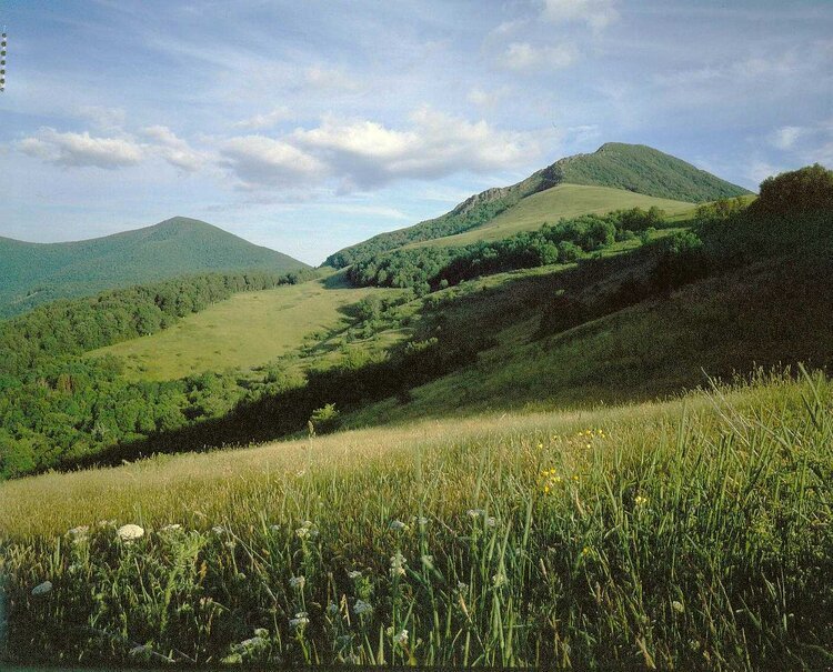
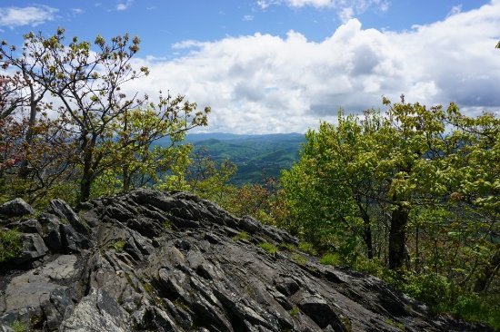
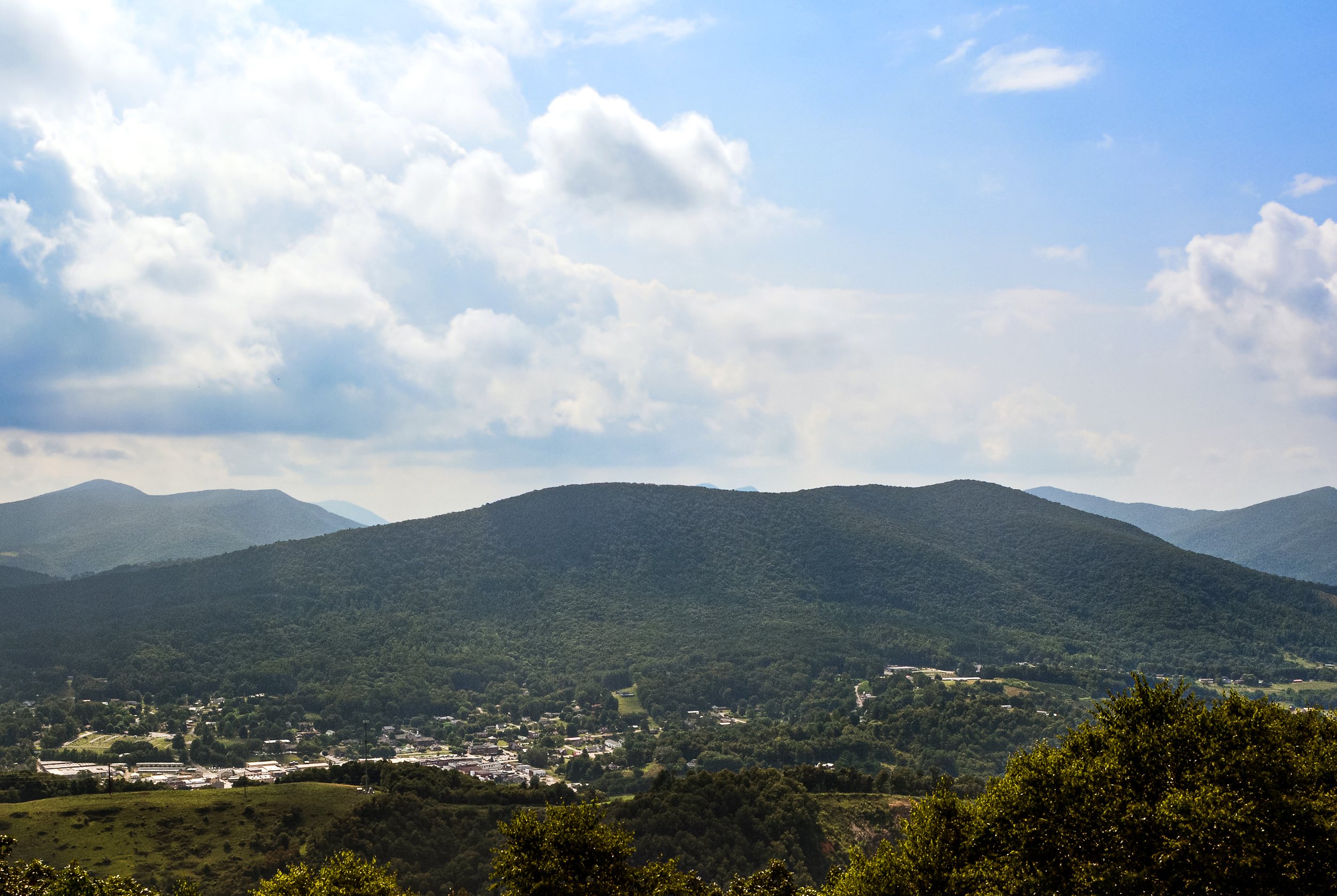
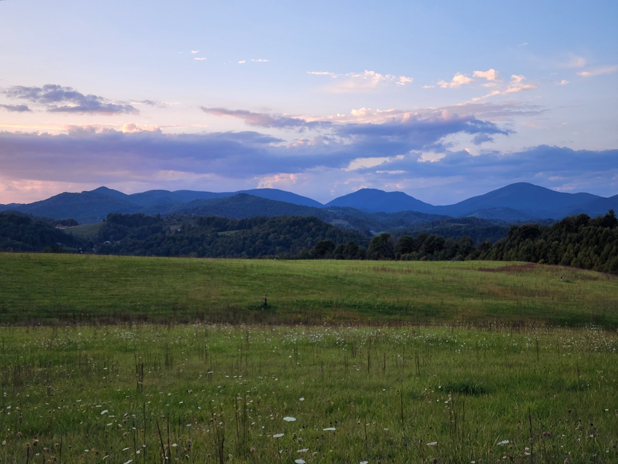
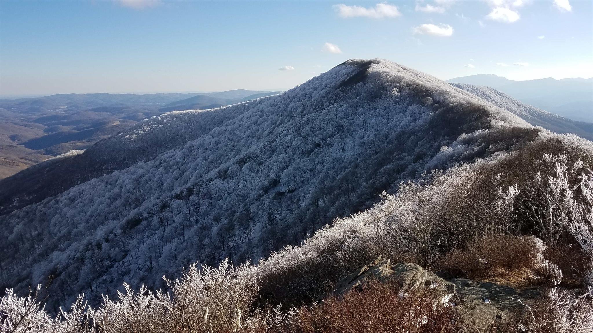
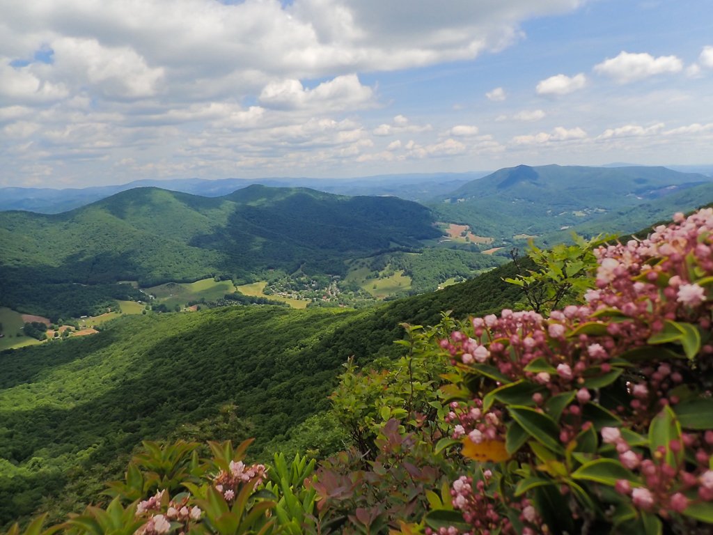
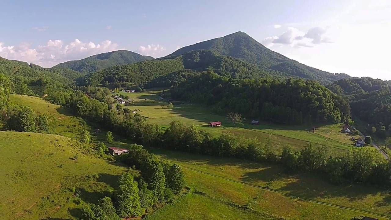
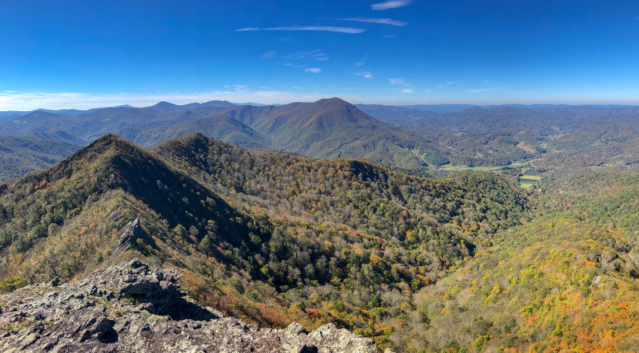
The NPST is a designated North Carolina state trail, and will stretch from Boone to West Jefferson across the Northern Peaks (also known as the Amphibolite Mountains), which divide the New River and Watauga River watersheds. The Amphibolites include Howard Knob, Snake Mountain, Elk Knob, The Peak, Three Top Mountain, Paddy Mountain, and Mount Jefferson. The final route is to be determined, but the NPST will only go through land managed or owned by willing and cooperative landowners. This could include State Parks, NC Game Lands, town and county properties, and private trail easements, etc.
What is the timeline for completing the trail?
There is currently no timeline for trail completion. Before the trail route is determined, a North Carolina Natural Heritage Program inventory is being taken of each section to note rare species and natural communities. That information will be used to select a route for a sustainable trail that does not disrupt sensitive areas. Please note: if a State Park plan has a line on a map labeled “NPST”, it is only illustrative and not an accurate depiction of the route. We are taking all aspects of planning, implementation, and impact seriously.
Who is involved with this project?
Ashe County, Blue Ridge Conservancy, NC Plant Conservation Program, NC State Parks, Town of Boone, Watauga County, Watauga County Tourism Development Authority, NC Wildlife Resources Commission, Town of West Jefferson and the West Jefferson Tourism Development Authority.
How will you ensure the long term protection and conservation of the ecologically significant areas?
Conserving land in perpetuity is the essence of our work. Plans for the protection of ecological diversity along the trail corridor have significantly evolved since the original plan in 2017. Most notably, we are contracting with a qualified biologist to conduct a biological survey of any proposed trail alignment before moving to design and build phases. Many of the tracts of land we are acquiring throughout the Amphibolites were for sale and under threat of development. Our strategy is to acquire land for conservation and then transfer the ownership and management responsibilities to agencies such as NC State Parks, NC Wildlife Resource Commission, or to local governments such as Ashe and Watauga Counties.
What are your plans for educating the public regarding the ecology and the necessary conservation, stewardship and management of the trail?
BRC sees the NPST as a great opportunity for environmental education. The urgency and need for land conservation, the importance of biodiversity, what makes a healthy ecosystem, and Leave No Trace principles are just some of the general concepts that will be included with the NPST education plan.
Steps to Progress
1. Identify suitable property and engage with land manager
2. Create desktop alignment and supply to qualified biologist
3. Complete biological survey of alignment and reroute trail to avoid natural heritage element occurrences when necessary
4. Professional trail builder creates trail design
5. Build trail
The Trail so Far:
2019 - NPST designated as State Trail.
2022 - Funding for Biological Survey and Trails Coordinator secured.
Since then:
$3.4 million awarded to Elk Knob State Park by PARTF for NPST
4.5 mile Northside Loop
~2 mile Southside Summit Approach Trail
Southside Trailhead, Parking, Bridge, Restrooms.
Breaking ground 2023.
NHP survey complete on Northside.
Currently in Progress:
NHP study complete on Three Top Mountain. Seeking trail alignment.
Preliminary planning for Paddy Mountain Park and trails system.